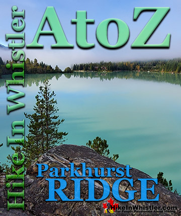
![]() Whistler has an absurd number of wonderful and free hiking trails and Parkhurst Ghost Town certainly ranks as one of the most unusual, exotic and interesting. Parkhurst was a little logging town perched on the edge of Green Lake way before Whistler was Whistler. Up on the ridge where Parkhurst sits, the views are sensational. Green Lake far below, a solid unnatural looking mass of green.
Whistler has an absurd number of wonderful and free hiking trails and Parkhurst Ghost Town certainly ranks as one of the most unusual, exotic and interesting. Parkhurst was a little logging town perched on the edge of Green Lake way before Whistler was Whistler. Up on the ridge where Parkhurst sits, the views are sensational. Green Lake far below, a solid unnatural looking mass of green.
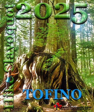
Whistler & Garibaldi Hiking
![]() Alexander Falls
Alexander Falls ![]() Ancient Cedars
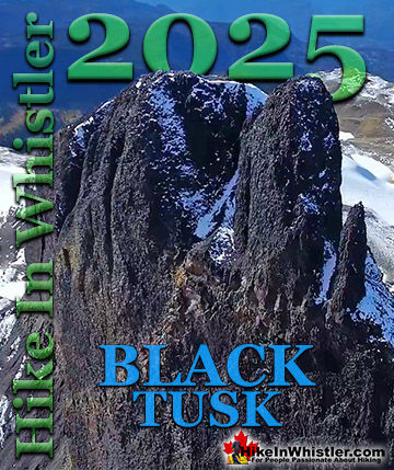
Ancient Cedars ![]() Black Tusk
Black Tusk ![]() Blackcomb Mountain
Blackcomb Mountain ![]() Brandywine Falls
Brandywine Falls ![]() Brandywine Meadows
Brandywine Meadows ![]() Brew Lake
Brew Lake ![]() Callaghan Lake
Callaghan Lake ![]() Cheakamus Lake
Cheakamus Lake ![]() Cheakamus River
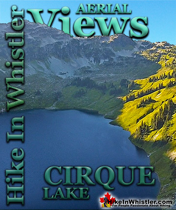
Cheakamus River ![]() Cirque Lake
Cirque Lake ![]() Flank Trail
Flank Trail ![]() Garibaldi Lake
Garibaldi Lake ![]() Garibaldi Park
Garibaldi Park ![]() Helm Creek
Helm Creek ![]() Jane Lakes
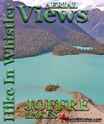
Jane Lakes ![]() Joffre Lakes
Joffre Lakes ![]() Keyhole Hot Springs
Keyhole Hot Springs ![]() Logger’s Lake
Logger’s Lake ![]() Madeley Lake
Madeley Lake ![]() Meager Hot Springs
Meager Hot Springs ![]() Nairn Falls
Nairn Falls ![]() Newt Lake
Newt Lake ![]() Panorama Ridge
Panorama Ridge ![]() Parkhurst Ghost Town
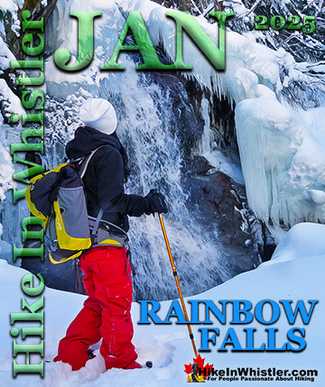
Parkhurst Ghost Town ![]() Rainbow Falls
Rainbow Falls ![]() Rainbow Lake
Rainbow Lake ![]() Ring Lake
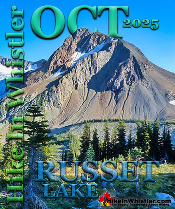
Ring Lake ![]() Russet Lake
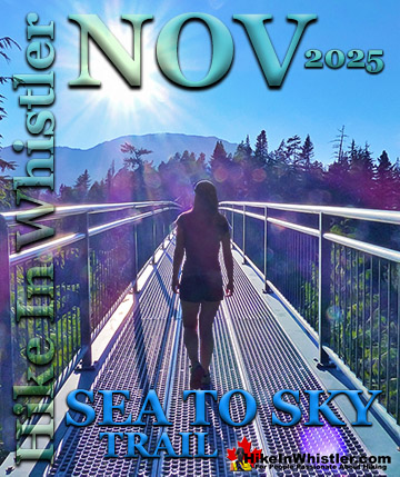
Russet Lake ![]() Sea to Sky Trail
Sea to Sky Trail ![]() Skookumchuck Hot Springs
Skookumchuck Hot Springs ![]() Sloquet Hot Springs
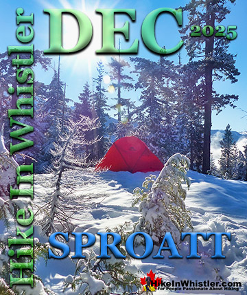
Sloquet Hot Springs ![]() Sproatt East
Sproatt East ![]() Sproatt West
Sproatt West ![]() Taylor Meadows
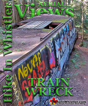
Taylor Meadows ![]() Train Wreck
Train Wreck ![]() Wedgemount Lake
Wedgemount Lake ![]() Whistler Mountain
Whistler Mountain
Whistler Aerial Views
![]() Alexander
Alexander ![]() Brandywine
Brandywine ![]() Blackcomb
Blackcomb ![]() Callaghan
Callaghan ![]() Cirque
Cirque ![]() Joffre
Joffre ![]() Keyhole
Keyhole ![]() Logger's
Logger's ![]() Madeley
Madeley ![]() Panorama
Panorama ![]() Sproatt
Sproatt ![]() Parkhurst
Parkhurst ![]() Rainbow
Rainbow ![]() Russet
Russet ![]() Train Wreck
Train Wreck ![]() Wedge Glacier
Wedge Glacier ![]() Wedgemount
Wedgemount ![]() Whistler
Whistler
Blackcomb Mountain and Whistler Mountain out in the distance to the left and Rainbow Mountain across and beyond the lake. As recent as the late 90's a few houses remained standing, but the merciless winters with crushing snow has collapsed all but one house. There are a couple half collapsed relics, but for the most part the town has disintegrated. Unexpectedly, even in the deep snow of winter, stumbling on remnants of the old town are frequent. Countless half collapsed houses lay in the picturesque forest that has grown since the town was abandoned. Finding the abandoned vehicles in the town is like a game as you wander around the maze of trails. The old rusty car, the even older truck, and an ancient and enormous logging tractor perched as it was decades ago, on the edge of Green Lake. Quite a marvel to see. Like a giant museum exhibit that looks like it could still be there in a thousand years from now. Just steps from the impressive tractor, if you are lucky and persistent, you can find another extraordinary part of abandoned tractor. This huge and solid piece of steel, left so long ago, has had trees grow in and around it. A large tree, over 65 years old now grows in a triangle shape through this ancient machinery. Squeezing into the only shape it could, but bewildering to see. If you do find it you will probably circle it over and over, trying to figure out how it managed to grown its way through.


Parkhurst Caterpillar Aerial Views
The huge Caterpillar D8 tractor shown above is quite menacing up close. Left here in 1956 when the old Parkhurst Sawmill closed and the town was abandoned. The aerial views below show it from above and as well as the triangle of land that juts out into Green Lake which was the site of the old sawmill.


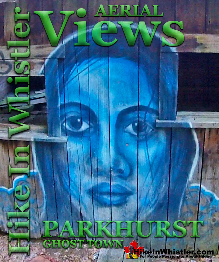
The Blue Face by Kups
Back in 2011 Kups, a Whistler local and now professional muralist painted a hauntingly surreal, blue face on the side of this house. This beautiful mural, along with the fact that this is the last fully intact house in Parkhurst makes it the most well known and photographed structure in the old ghost town. It is difficult to figure out why the Blue Face house outlasted all the others, but it appears to still be quite structurally sound.

The mural painted on the front of the house dates back to 2011 when local muralist Kups painted it. Back then the house was a blank canvas, now the inside is mostly covered in colourful murals and graffiti.


The Parkhurst Loop Trail
![]() The Parkhurst Loop Trail is roughly a triangle with each side about 300 metres long. This trail runs through the now deep forest where most of the houses once stood in Parkhurst. Part of the loop trail was once an old gravel road which explains how the various wrecked vehicles managed to get there. Wrecked, old trucks from the 1950’s, an old car from the 1970’s and dozens of collapsed houses lay rotting along this trail. It is fun to wander through the forest here as you can never tell what you will find around the next bend in the trail. The triangle shaped loop trail surrounded by deep forest is strangely disorienting. You find yourself wandering for a while in a direction you are sure is away from Green Lake, only to suddenly emerge from the forest just steps from the water. Unlike other hiking trails in Whistler where you have a set destination, at Parkhurst you have a non-stop series of curious structures, beautiful sections of forest and endless great lake views.
The Parkhurst Loop Trail is roughly a triangle with each side about 300 metres long. This trail runs through the now deep forest where most of the houses once stood in Parkhurst. Part of the loop trail was once an old gravel road which explains how the various wrecked vehicles managed to get there. Wrecked, old trucks from the 1950’s, an old car from the 1970’s and dozens of collapsed houses lay rotting along this trail. It is fun to wander through the forest here as you can never tell what you will find around the next bend in the trail. The triangle shaped loop trail surrounded by deep forest is strangely disorienting. You find yourself wandering for a while in a direction you are sure is away from Green Lake, only to suddenly emerge from the forest just steps from the water. Unlike other hiking trails in Whistler where you have a set destination, at Parkhurst you have a non-stop series of curious structures, beautiful sections of forest and endless great lake views.

The Parkhurst Sawmill Site
![]() The old Parkhurst Sawmill was located on the peninsula adjacent to the old Caterpillar tractor. A little bit of bushwhacking takes you into a surprisingly big clearing in tangle of forest. The clearing is caused by the collapsed sawmill's metal roof covering the forest floor and preventing big trees from taking root. You can only see some of the huge metal sheets as most of it lays under a carpet of forest that has settled in over the past 65 years. The clearing is serene and cut off from the world by a thick perimeter of jungle, making it a sunny paradise on a nice day.
The old Parkhurst Sawmill was located on the peninsula adjacent to the old Caterpillar tractor. A little bit of bushwhacking takes you into a surprisingly big clearing in tangle of forest. The clearing is caused by the collapsed sawmill's metal roof covering the forest floor and preventing big trees from taking root. You can only see some of the huge metal sheets as most of it lays under a carpet of forest that has settled in over the past 65 years. The clearing is serene and cut off from the world by a thick perimeter of jungle, making it a sunny paradise on a nice day.

More info, details, maps and directions to Parkhurst
More Whistler Aerial Views!


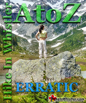
Whistler & Garibaldi Park Hiking Glossary A to Z
Whistler & Garibaldi Park Best Hiking by Month!

Explore BC Hiking Destinations!
Whistler Hiking Trails
Squamish Hiking Trails
Vancouver Hiking Trails
Clayoquot Hiking Trails
Victoria Hiking Trails