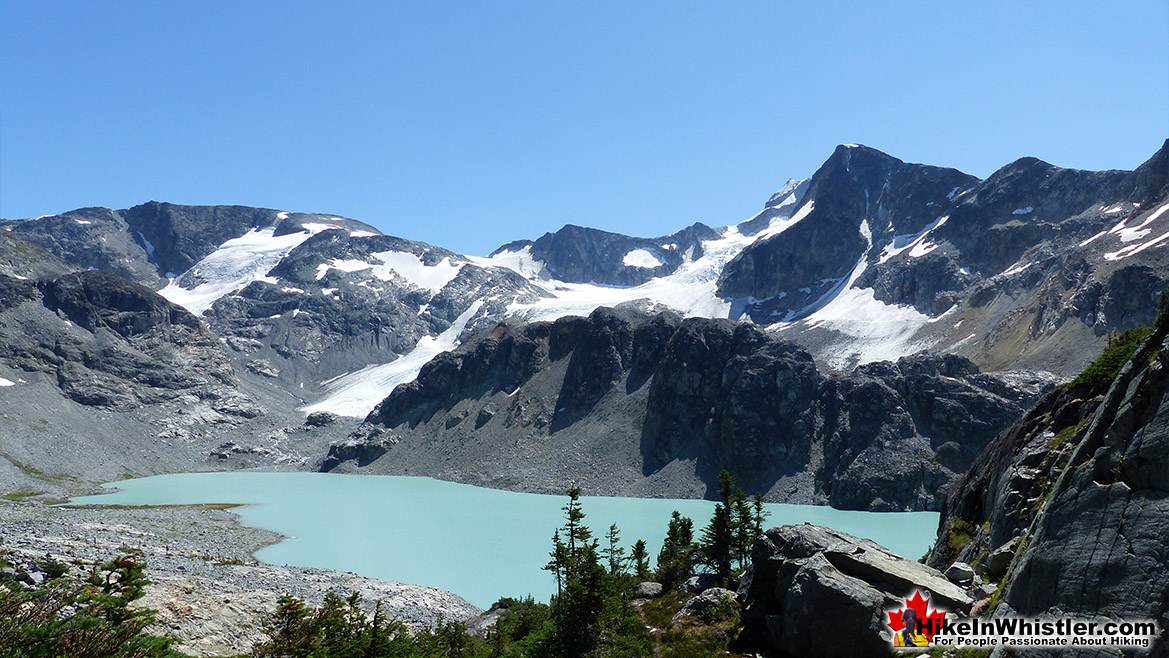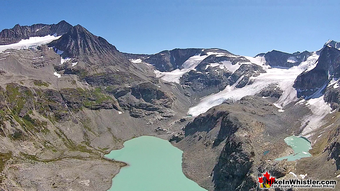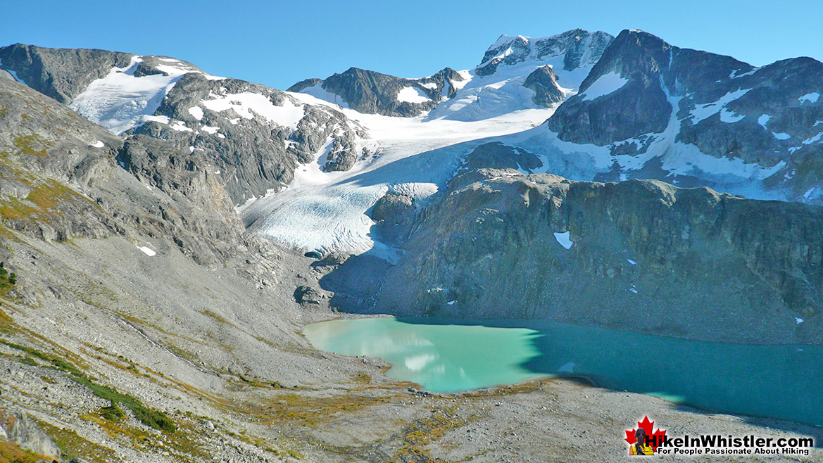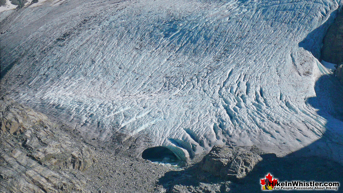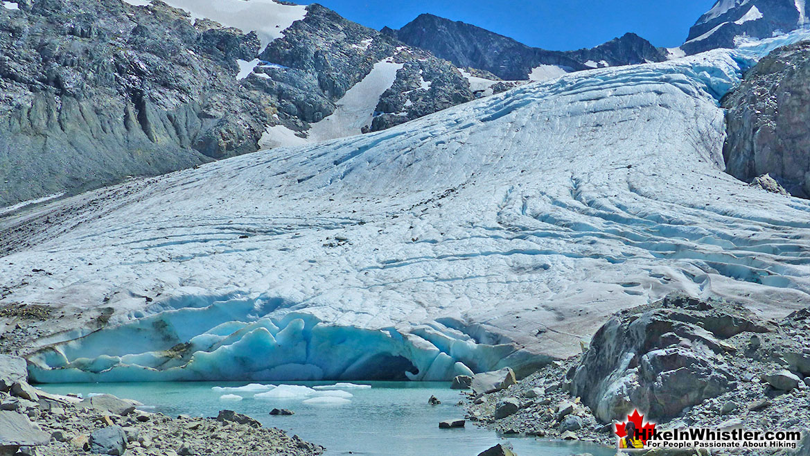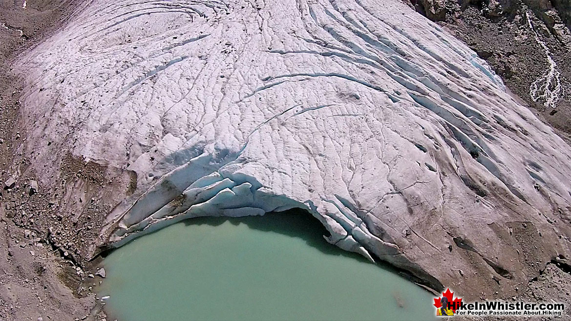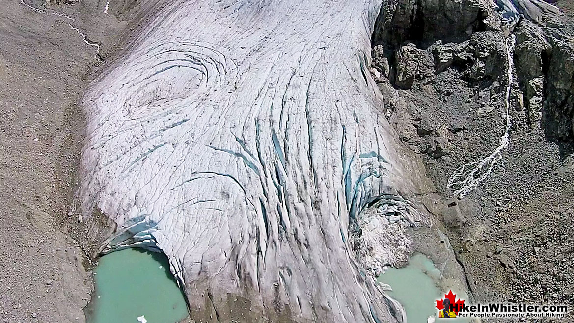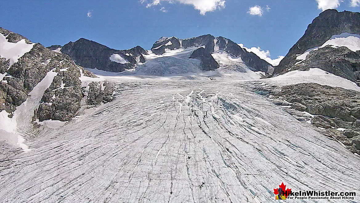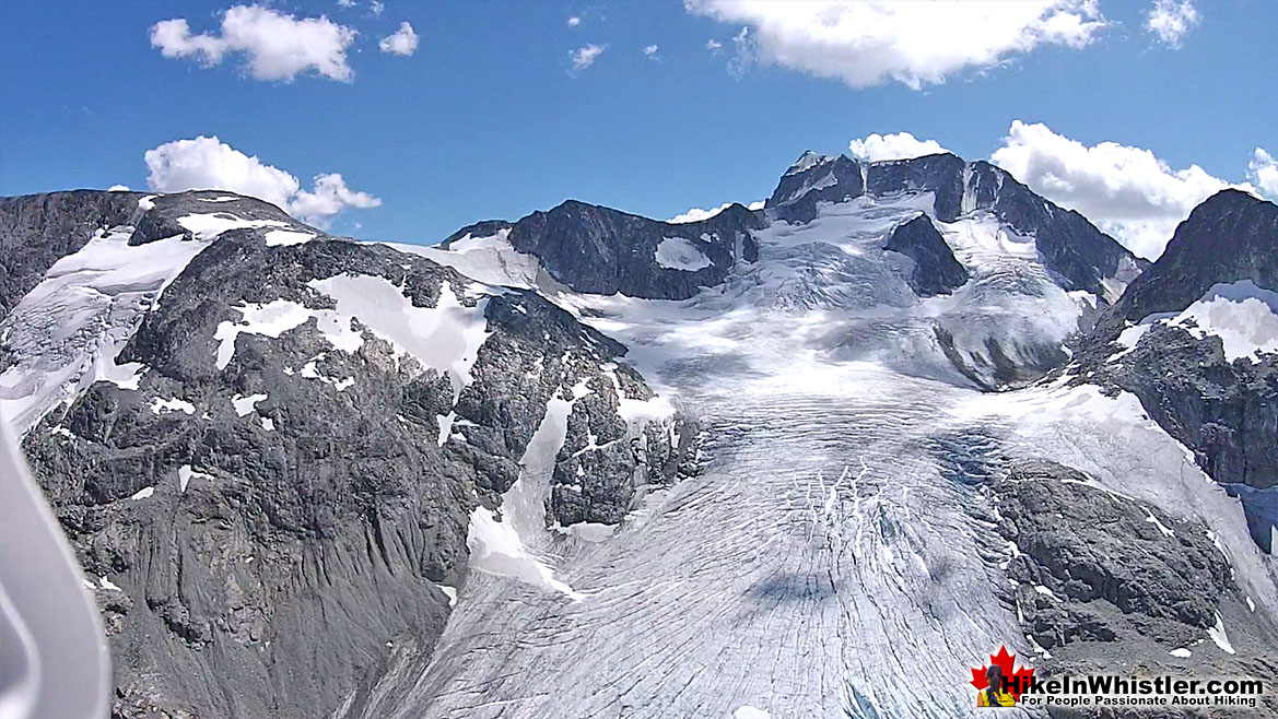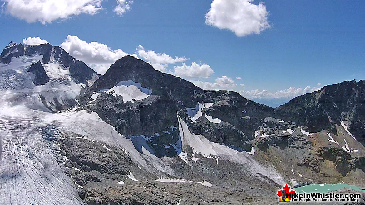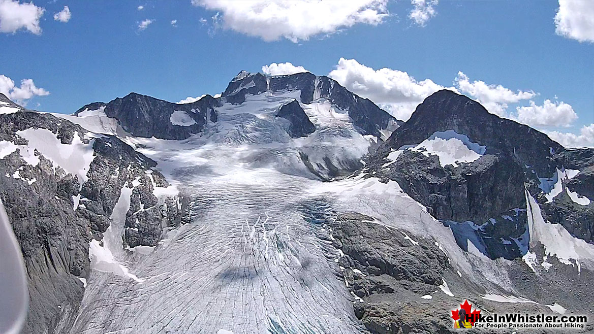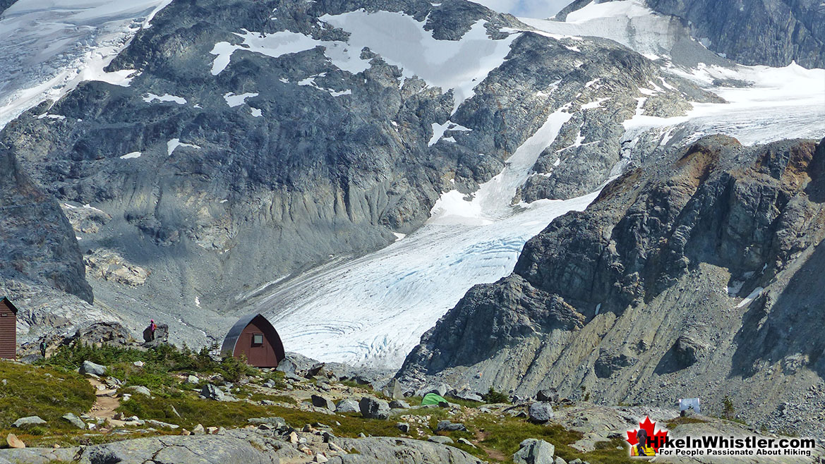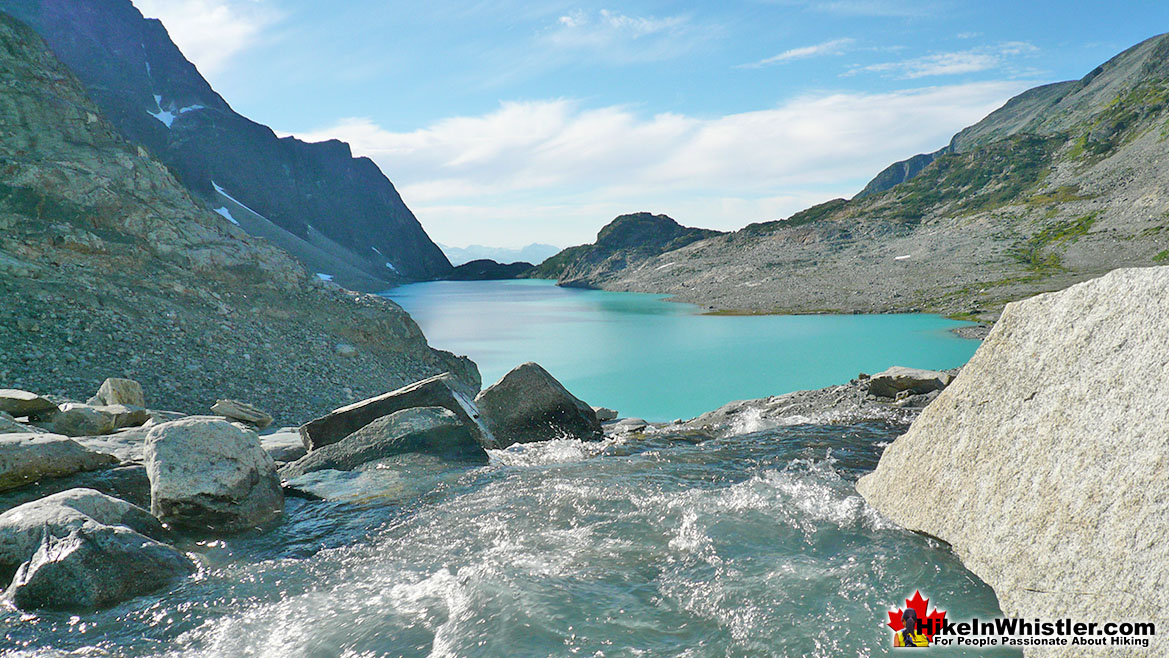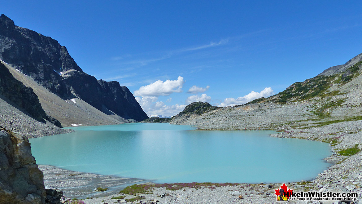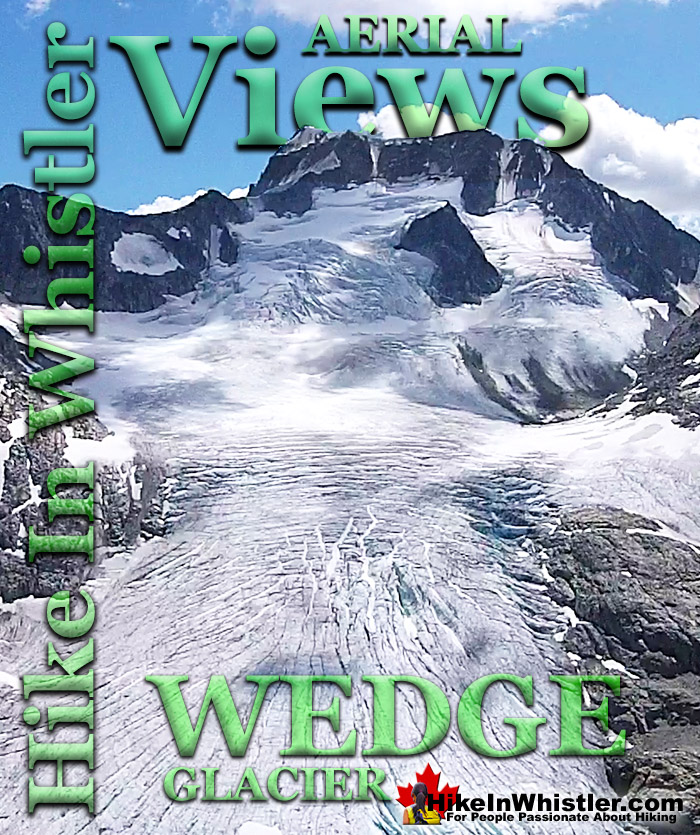
![]() Wedgemount Glacier descends the steep valley down from Wedge Mountain and flanked by Parkhurst Mountain and Mount Weart. A couple decades ago the glacier reached Wedgemount Lake with an abrupt wall of ice. Now the terminus is a few hundred metres from the shore and has a huge, gaping glacier window at its end.
Wedgemount Glacier descends the steep valley down from Wedge Mountain and flanked by Parkhurst Mountain and Mount Weart. A couple decades ago the glacier reached Wedgemount Lake with an abrupt wall of ice. Now the terminus is a few hundred metres from the shore and has a huge, gaping glacier window at its end.
Whistler & Garibaldi Hiking
![]() Alexander Falls
Alexander Falls ![]() Ancient Cedars
Ancient Cedars ![]() Black Tusk
Black Tusk ![]() Blackcomb Mountain
Blackcomb Mountain ![]() Brandywine Falls
Brandywine Falls ![]() Brandywine Meadows
Brandywine Meadows ![]() Brew Lake
Brew Lake ![]() Callaghan Lake
Callaghan Lake ![]() Cheakamus Lake
Cheakamus Lake ![]() Cheakamus River
Cheakamus River ![]() Cirque Lake
Cirque Lake ![]() Flank Trail
Flank Trail ![]() Garibaldi Lake
Garibaldi Lake ![]() Garibaldi Park
Garibaldi Park ![]() Helm Creek
Helm Creek ![]() Jane Lakes
Jane Lakes ![]() Joffre Lakes
Joffre Lakes ![]() Keyhole Hot Springs
Keyhole Hot Springs ![]() Logger’s Lake
Logger’s Lake ![]() Madeley Lake
Madeley Lake ![]() Meager Hot Springs
Meager Hot Springs ![]() Nairn Falls
Nairn Falls ![]() Newt Lake
Newt Lake ![]() Panorama Ridge
Panorama Ridge ![]() Parkhurst Ghost Town
Parkhurst Ghost Town ![]() Rainbow Falls
Rainbow Falls ![]() Rainbow Lake
Rainbow Lake ![]() Ring Lake
Ring Lake ![]() Russet Lake
Russet Lake ![]() Sea to Sky Trail
Sea to Sky Trail ![]() Skookumchuck Hot Springs
Skookumchuck Hot Springs ![]() Sloquet Hot Springs
Sloquet Hot Springs ![]() Sproatt East
Sproatt East ![]() Sproatt West
Sproatt West ![]() Taylor Meadows
Taylor Meadows ![]() Train Wreck
Train Wreck ![]() Wedgemount Lake
Wedgemount Lake ![]() Whistler Mountain
Whistler Mountain
Whistler Aerial Views
![]() Alexander
Alexander ![]() Brandywine
Brandywine ![]() Blackcomb
Blackcomb ![]() Callaghan
Callaghan ![]() Cirque
Cirque ![]() Joffre
Joffre ![]() Keyhole
Keyhole ![]() Logger's
Logger's ![]() Madeley
Madeley ![]() Panorama
Panorama ![]() Sproatt
Sproatt ![]() Parkhurst
Parkhurst ![]() Rainbow
Rainbow ![]() Russet
Russet ![]() Train Wreck
Train Wreck ![]() Wedge Glacier
Wedge Glacier ![]() Wedgemount
Wedgemount ![]() Whistler
Whistler
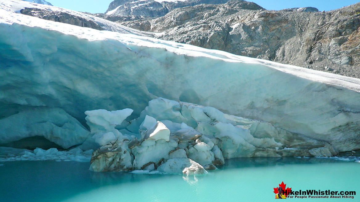
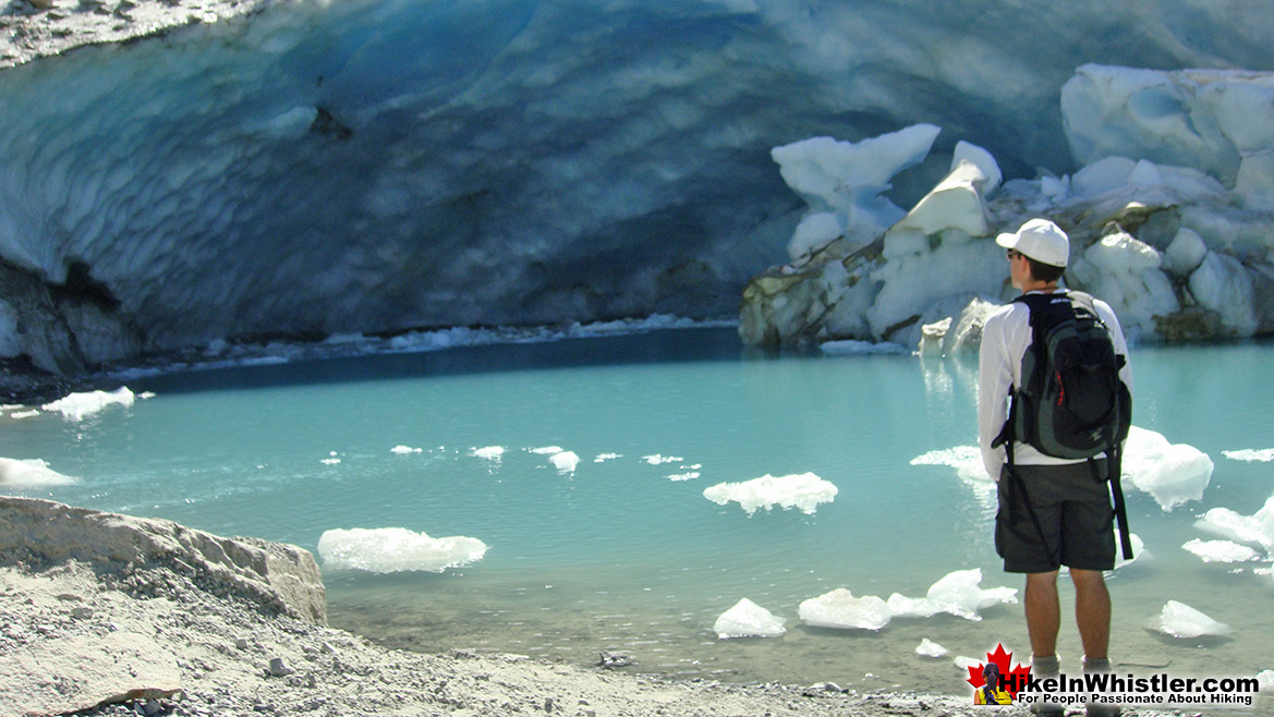
Like a giant mouth, this huge ice cave with fridge sized chunks of glacier tumbling into the brilliant turquoise pool that spills into Wedgemount Lake. Wedgemount Glacier, along with the extraordinary turquoise coloured Wedgemount Lake is the big attraction to this beautifully wild and hostile alpine paradise. The seven kilometre Wedgemount Lake hiking trail is quite steep and with a heavy pack is very challenging. The trail arrives at Wedgemount Lake at the opposite end from Wedgemount Glacier, and at once everything comes into view. The sight of Wedgemount Lake surrounded by Cook Mountain, Weart Mountain, Wedge Mountain, Parkhurst Mountain and Rethel Mountain is breathtaking. To make the image even more incredible is the looming, stark white, hulking glacier that fills the valley at the end of the lake up to the summit Wedge Mountain. Wedge Mountain is the highest mountain in the Garibaldi Ranges and its broad, south facing, wedge shape has its north face encased in the monstrously thick Wedgemount Glacier. The brilliant turquoise coloured Wedgemount Lake contrasts with the almost black colour of Rethel Mountain and the blindingly white Wedge Glacier. Unlike most other hikes in Garibaldi Provincial Park, at Wedgemount Lake you have this amazing glacier to hike to in just a few short minutes. You can hike from your tent to Wedge Glacier in just 10-20 minutes. The glacier window is a pretty impressive sight up close and you grasp the enormous size of Wedge Glacier when you are dwarfed by this comparatively small feature of the overall huge mass of ice.
Wedgemount Glacier Aerial Views
More info for Wedgemount Lake and Wedge Glacier
More Whistler Aerial Views!
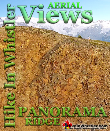
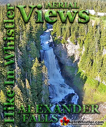
Whistler & Garibaldi Park Hiking Glossary A to Z
Whistler & Garibaldi Park Best Hiking by Month!

Explore BC Hiking Destinations!
Whistler Hiking Trails
Squamish Hiking Trails
Vancouver Hiking Trails
Clayoquot Hiking Trails
Victoria Hiking Trails
