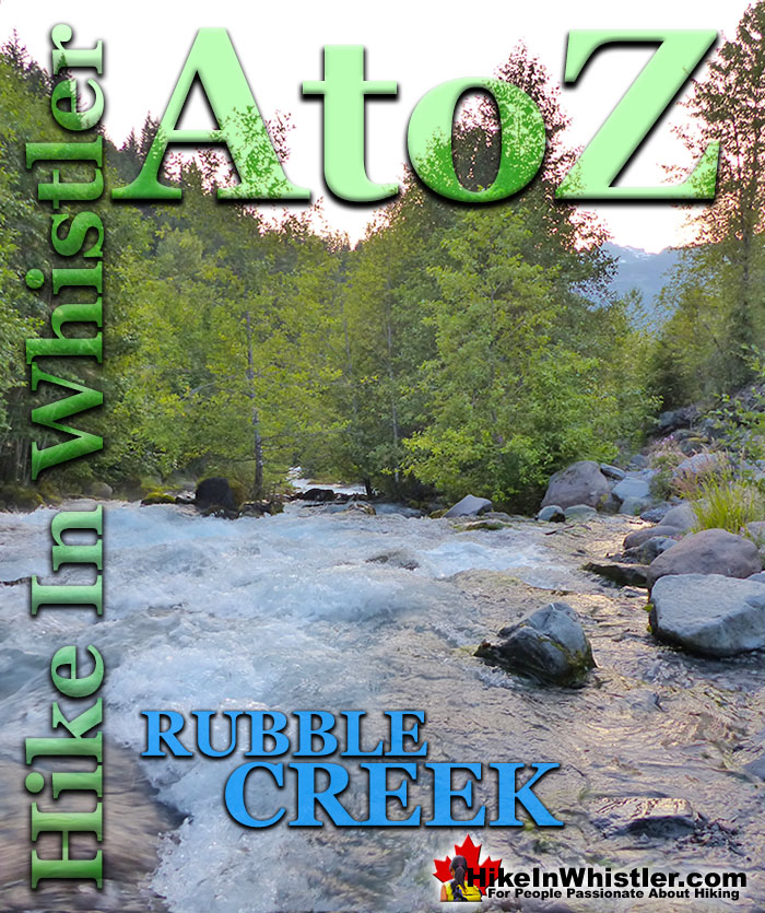
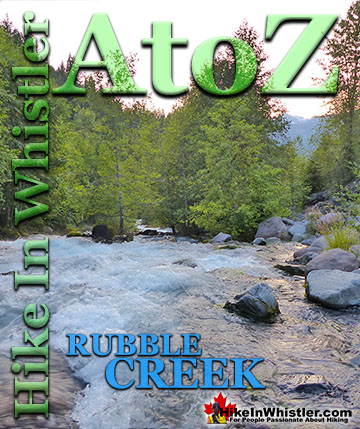
![]() The Rubble Creek trailhead is the main access point for many of the best hikes and sights in Garibaldi Provincial Park. Rubble Creek is located midway between Whistler and Squamish, just 2 kilometres from the Sea to Sky Highway. The name Rubble Creek is evidently quite appropriate when you reach the parking lot and see the remnants of the terrific rock slide that swept down the valley not that long ago.
The Rubble Creek trailhead is the main access point for many of the best hikes and sights in Garibaldi Provincial Park. Rubble Creek is located midway between Whistler and Squamish, just 2 kilometres from the Sea to Sky Highway. The name Rubble Creek is evidently quite appropriate when you reach the parking lot and see the remnants of the terrific rock slide that swept down the valley not that long ago.
Whistler & Garibaldi Hiking
![]() Alexander Falls
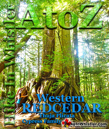
Alexander Falls ![]() Ancient Cedars
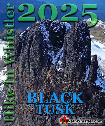
Ancient Cedars ![]() Black Tusk
Black Tusk ![]() Blackcomb Mountain
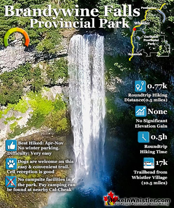
Blackcomb Mountain ![]() Brandywine Falls
Brandywine Falls ![]() Brandywine Meadows
Brandywine Meadows ![]() Brew Lake
Brew Lake ![]() Callaghan Lake
Callaghan Lake ![]() Cheakamus Lake
Cheakamus Lake ![]() Cheakamus River
Cheakamus River ![]() Cirque Lake
Cirque Lake ![]() Flank Trail
Flank Trail ![]() Garibaldi Lake
Garibaldi Lake ![]() Garibaldi Park
Garibaldi Park ![]() Helm Creek
Helm Creek ![]() Jane Lakes
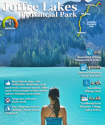
Jane Lakes ![]() Joffre Lakes
Joffre Lakes ![]() Keyhole Hot Springs
Keyhole Hot Springs ![]() Logger’s Lake
Logger’s Lake ![]() Madeley Lake
Madeley Lake ![]() Meager Hot Springs
Meager Hot Springs ![]() Nairn Falls
Nairn Falls ![]() Newt Lake
Newt Lake ![]() Panorama Ridge
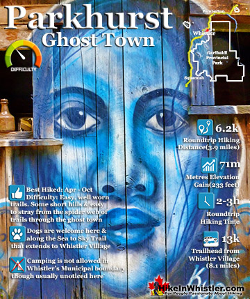
Panorama Ridge ![]() Parkhurst Ghost Town
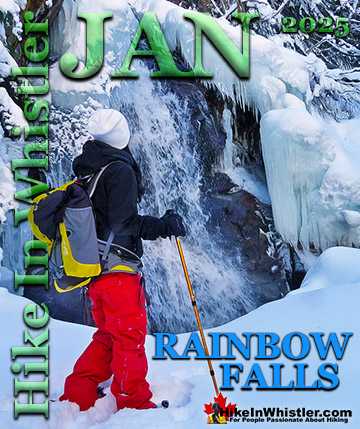
Parkhurst Ghost Town ![]() Rainbow Falls
Rainbow Falls ![]() Rainbow Lake
Rainbow Lake ![]() Ring Lake
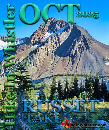
Ring Lake ![]() Russet Lake
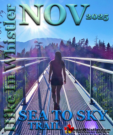
Russet Lake ![]() Sea to Sky Trail
Sea to Sky Trail ![]() Skookumchuck Hot Springs
Skookumchuck Hot Springs ![]() Sloquet Hot Springs
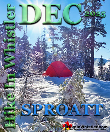
Sloquet Hot Springs ![]() Sproatt East
Sproatt East ![]() Sproatt West
Sproatt West ![]() Taylor Meadows
Taylor Meadows ![]() Train Wreck
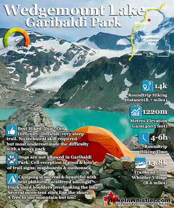
Train Wreck ![]() Wedgemount Lake
Wedgemount Lake ![]() Whistler Mountain
Whistler Mountain
![]() January
January ![]() February
February ![]() March
March ![]() April
April ![]() May
May ![]() June
June ![]() July
July ![]() August
August ![]() September
September ![]() October
October ![]() November
November ![]() December
December
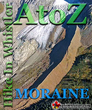
Giant boulders fill the river and river valley that sharply ascends up the valley toward The Barrier and Garibaldi Lake. The Barrier is a magnificently abrupt and unstable rock formation that holds back Lesser Garibaldi Lake and just two kilometres further, Garibaldi Lake. The Barrier partially gave way in the spring of 1856 and unleashed a horrific, rocky torrent of boulders down the valley. It is estimated that more than 25 million cubic metres of rock tumbled down the valley at about 70 kilometres per hour. Sixty years later the Pacific Great Eastern Railway completed the railway line that stretched up the coast from Vancouver, through Whistler, to Lillooet and beyond. In 1916 the Garibaldi Lodge opened near the railway line at Daisy Lake and Rubble Creek. The Garibaldi Lodge was similar to the Rainbow Lodge at Alta Lake in Whistler. Garibaldi Lodge was located in a small community called Daisy Lake after the lake that we see there today that Brandywine Falls so dramatically spills into. In 1932, five years after the creation of Garibaldi Provincial Park, the community changed its name from Daisy Lake to Garibaldi. The newly named town of Garibaldi was poised to become the main base and tourism centre for Garibaldi Provincial Park.
Rubble Creek View of The Barrier


The Barrier Viewpoint

The Barrier is a Constant Threat
The town continued developing and soon grand plans were drawn up for a ski resort in the area. The company that originally created what would become Whistler that we see today was called the Garibaldi Lift Company. A name that suggested the location that the resort would emanate from, Garibaldi. With huge development plans underway, the government had a look at the potential for another enormous rock slide if The Barrier ruptured again. A massive study was done and it was determined that The Barrier could release a similar catastrophe as it did in 1856 at any time. Specifically the study determined that the conditions that produced the 1856 slide are all still characteristics of The Barrier today.

Garibaldi Relocated Away from Danger
Because a similar catastrophic rock slide could occur anytime, the plans for Garibaldi were scrapped and the town was ordered evacuated. To compensate the people that lived in the tiny community, lots were offered in the new settlements of Pinecrest and Black Tusk Estates, just north of Rubble Creek. Those areas retain the same names today, however the settlement of Garibaldi is long gone. Though you will still see the old townsite’s name on the Sea to Sky highway signs for the Rubble Creek trailhead. The highway signs read Black Tusk(Garibaldi) referring to the Rubble Creek trailhead to Garibaldi Provincial Park. In Whistler you will find a little piece of history if you go for a drink in one of Whistler’s best slopeside bars, the GLC. The GLC sits at the base of Whistler Mountain and above the Whistler Gondola, and has one of the most amazing patios around. GLC, of course is short for Garibaldi Lift Company.

Daisy Lake and Brandywine Falls
Today you will see Daisy Lake as you drive along the Sea to Sky Highway between Squamish and Whistler. In 1957 the Daisy Lake Dam was completed and is dramatically visible as you drive by. Just past the lake, heading north, you pass Brandywine Falls which spills from an abrupt cliff into Daisy Lake. Near the falls you will find a tranquil viewing area overlooking the valley and a great view of Daisy Lake. There are a couple of nice, sun facing park benches here as well which makes this spot unbeatable to relax for lunch with a million dollar view of this historically and geologically magnificent place.
Brandywine Falls View of Daisy Lake


The Rubble Creek Landslide
In the spring of 1856 more than 25 million cubic metres of rock from The Barrier crashed down the valley of what is today called Rubble Creek. The incredible torrent of volcanic rock boulders crashed down the valley more than 6 kilometres at a speed of more than 30 metres per second. The vertical distance of the debris flow was over 1000 metres measured from the top of The Barrier to the end of the debris field where Rubble Creek meets Cheakamus River. The exact cause of the 1856 Rubble Creek landslide is very difficult to be sure of. There are a couple of possibilities geologists have come up with. Water from Garibaldi Lake ends up passing through The Barrier via a subsurface drainage system that comes out the other side as springs far below. Groundwater pressure may have increased due to some sort of blockage resulting in pressures that triggered the slide. Another theory is that an earthquake could have ruptured The Barrier, causing the massive release of rock down the valley. There is a record of an earthquake in the area in 1853, however no record of an earthquake in the years that follow, before or after the 1856 Rubble Creek slide. It is difficult to confirm that an earthquake did not occur in 1856 owing to the distance to populated areas at the time. The abrupt shape of The Barrier and its interesting origin not only explain how it formed into such and unusual way, but why it will continue to threaten another collapse.
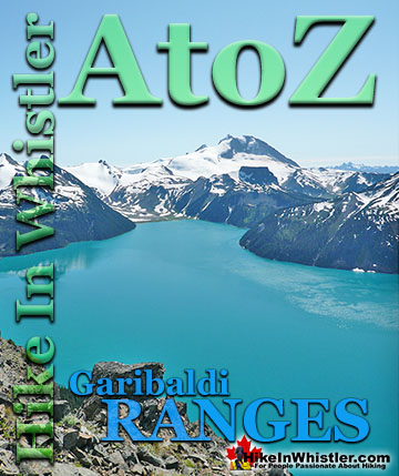
Garibaldi Lake in Garibaldi Provincial Park
![]() Garibaldi Lake is the centre and base for much of the hiking in Garibaldi Provincial Park. The Garibaldi Lake campsite is located on the amazing, turquoise shores of this massive and mostly still wild mountain lake. There are no trails around the edge of the lake except the small section leading to the campsites, so your view is an impossibly coloured lake edged by swaths of forest and a magnificent glacier towering in the distance. Compared to other lakes in the Whistler area and in Garibaldi Provincial Park, Garibaldi Lake is enormous with a surface area of almost 10 square kilometres or 2460 acres. It is also a very deep lake with its average depth of 119 metres or 390 feet and at its deepest, 258 metres or 849 feet! What really makes Garibaldi Lake extraordinary is its geography. It is flanked by volcanoes on three sides and lava flows from Mount Price during the last ice age formed The Barrier which blocked the valley which filled with water, creating Garibaldi Lake. Vantage points around the lake such as Panorama Ridge and Black Tusk allow relatively easy views of this magnificent lake with Mount Garibaldi and other impressive peaks surrounding it. More...
Garibaldi Lake is the centre and base for much of the hiking in Garibaldi Provincial Park. The Garibaldi Lake campsite is located on the amazing, turquoise shores of this massive and mostly still wild mountain lake. There are no trails around the edge of the lake except the small section leading to the campsites, so your view is an impossibly coloured lake edged by swaths of forest and a magnificent glacier towering in the distance. Compared to other lakes in the Whistler area and in Garibaldi Provincial Park, Garibaldi Lake is enormous with a surface area of almost 10 square kilometres or 2460 acres. It is also a very deep lake with its average depth of 119 metres or 390 feet and at its deepest, 258 metres or 849 feet! What really makes Garibaldi Lake extraordinary is its geography. It is flanked by volcanoes on three sides and lava flows from Mount Price during the last ice age formed The Barrier which blocked the valley which filled with water, creating Garibaldi Lake. Vantage points around the lake such as Panorama Ridge and Black Tusk allow relatively easy views of this magnificent lake with Mount Garibaldi and other impressive peaks surrounding it. More...

More Whistler & Garibaldi Park Hiking A to Z!

The Best Whistler & Garibaldi Park Hiking Trails!
Whistler & Garibaldi Park Best Hiking by Month!

Explore BC Hiking Destinations!
Whistler Hiking Trails
Squamish Hiking Trails
Vancouver Hiking Trails
Clayoquot Hiking Trails
Victoria Hiking Trails