![]() Mount Sproatt, or as it is known locally as just Sproatt, is one of the many towering mountains visible from Whistler Village. Above and beyond Alta Lake, directly across from Whistler Mountain and Blackcomb Mountain, you will see this quiet giant. Its unremarkable appearance hides the growing network of trails that stretch through some startlingly beautiful terrain.
Mount Sproatt, or as it is known locally as just Sproatt, is one of the many towering mountains visible from Whistler Village. Above and beyond Alta Lake, directly across from Whistler Mountain and Blackcomb Mountain, you will see this quiet giant. Its unremarkable appearance hides the growing network of trails that stretch through some startlingly beautiful terrain.
 Multiple trailheads & access points
- Wild, hostile terrain rarely visited by humans
- Connecting trails to Rainbow, Hanging & Madeley
- No crowds & endless idyllic tarns to swim
- Dozens of perfect spots for a tent
- Vast terrain full of adventurous routes
- Dog friendly, unlike most Whistler trails
 Easy to get lost in the vast alpine
- No grand turquoise lakes like Wedge
- Need a 4x4 to get to the Callaghan trailhead
Next time you walk through Whistler Village and cross the pedestrian bridge(with Village Gate Boulevard below you), you will see Mount Sproatt in the distance. It is the rocky giant, abruptly steep on one end and gently sloping on the other. At its summit you may be able to make out the small weather recording structure. What you can't see from Whistler Village is the extraordinarily beautiful alpine paradise that lays beyond it. Lakes and tarns everywhere you look. Fields of alpine flowers and wonderfully mangled, yet strikingly beautiful forests of krummholz. Hostile looking fields of boulders and absurdly placed erratics the size of trucks. Beyond, of course, endless stunning view of distant, snowy mountains. From the towering elevation of much of the Sproatt trail network you look across or even down on distant mountains. Rainbow Mountain looks incredible from much of the trail. Four teeth-like, jagged grey peaks in a row that face you from Rainbow Mountain, just 5 kilometres away look enormous.
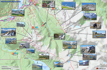
Sproatt West(Northair) Trail Map
A couple kilometres closer you spot Hanging Lake and the Lord of the Rings style valley that stretches 2 kilometres from its shores to the abrupt cliffs at your feet. Several times along the trail you see the clearly defined ski runs on Whistler Mountain and Blackcomb Mountain and once in a while you can spot Alta Lake and Whistler Village. Though a hive of snowmobile and ski/riding activity in the winter and spring, Sproatt is infrequently hiked in the summer.


More Mount Sproatt Hiking Info...
More Whistler & Garibaldi Park Hiking Maps!
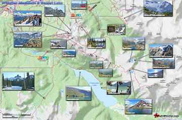
Whistler Mountain Maps
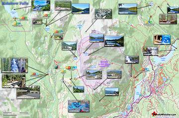
Rainbow Falls Maps
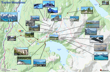
Taylor Meadows Maps
Blackcomb Mountain Maps

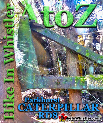
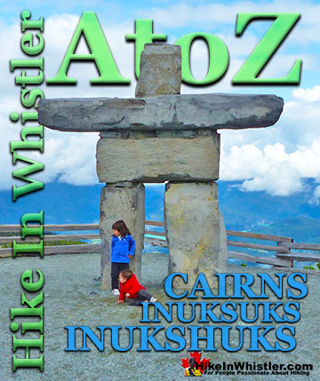
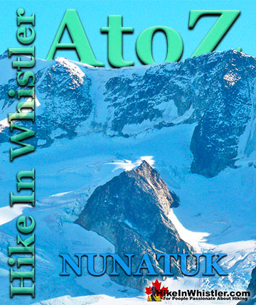
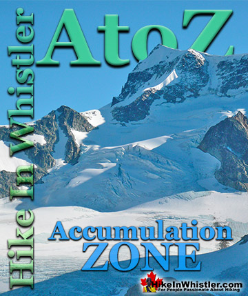
Whistler & Garibaldi Park Glossary A to Z

The Best Whistler & Garibaldi Park Hiking Trails!