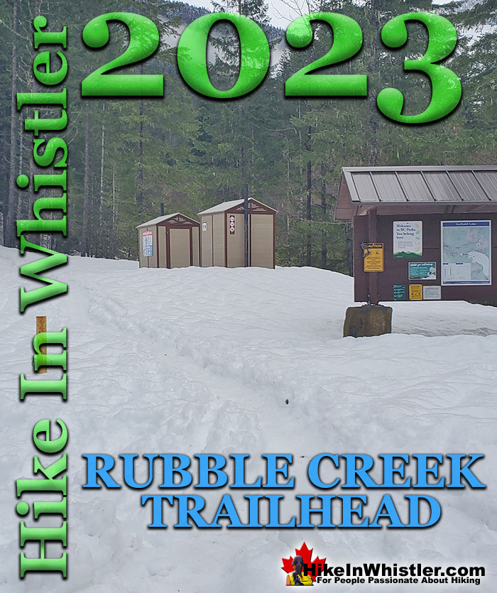
![]() January 2nd, 2023: The Rubble Creek trailhead to Garibaldi Provincial Park is consistently snowplowed this season. The two kilometre access road is still difficult for most cars as it is hard packed with about 4 centimetres of snow/ice most of the way up. It is very icy and regular, non 4x4 cars can't seem to get traction and have to turn back a few metres up the road. Once you get to the parking lot near the trailhead there is just a centimetre or less of packed ice/snow covering the pavement.
January 2nd, 2023: The Rubble Creek trailhead to Garibaldi Provincial Park is consistently snowplowed this season. The two kilometre access road is still difficult for most cars as it is hard packed with about 4 centimetres of snow/ice most of the way up. It is very icy and regular, non 4x4 cars can't seem to get traction and have to turn back a few metres up the road. Once you get to the parking lot near the trailhead there is just a centimetre or less of packed ice/snow covering the pavement.
Whistler & Garibaldi Hiking
![]() Alexander Falls
Alexander Falls ![]() Ancient Cedars
Ancient Cedars ![]() Black Tusk
Black Tusk ![]() Blackcomb Mountain
Blackcomb Mountain ![]() Brandywine Falls
Brandywine Falls ![]() Brandywine Meadows
Brandywine Meadows ![]() Brew Lake
Brew Lake ![]() Callaghan Lake
Callaghan Lake ![]() Cheakamus Lake
Cheakamus Lake ![]() Cheakamus River
Cheakamus River ![]() Cirque Lake
Cirque Lake ![]() Flank Trail
Flank Trail ![]() Garibaldi Lake
Garibaldi Lake ![]() Garibaldi Park
Garibaldi Park ![]() Helm Creek
Helm Creek ![]() Jane Lakes
Jane Lakes ![]() Joffre Lakes
Joffre Lakes ![]() Keyhole Hot Springs
Keyhole Hot Springs ![]() Logger’s Lake
Logger’s Lake ![]() Madeley Lake
Madeley Lake ![]() Meager Hot Springs
Meager Hot Springs ![]() Nairn Falls
Nairn Falls ![]() Newt Lake
Newt Lake ![]() Panorama Ridge
Panorama Ridge ![]() Parkhurst Ghost Town
Parkhurst Ghost Town ![]() Rainbow Falls
Rainbow Falls ![]() Rainbow Lake
Rainbow Lake ![]() Ring Lake
Ring Lake ![]() Russet Lake
Russet Lake ![]() Sea to Sky Trail
Sea to Sky Trail ![]() Skookumchuck Hot Springs
Skookumchuck Hot Springs ![]() Sloquet Hot Springs
Sloquet Hot Springs ![]() Sproatt East
Sproatt East ![]() Sproatt West
Sproatt West ![]() Taylor Meadows
Taylor Meadows ![]() Train Wreck
Train Wreck ![]() Wedgemount Lake
Wedgemount Lake ![]() Whistler Mountain
Whistler Mountain
![]() January
January ![]() February
February ![]() March
March ![]() April
April ![]() May
May ![]() June
June ![]() July
July ![]() August
August ![]() September
September ![]() October
October ![]() November
November ![]() December
December
The trail is very slippery all the way to Garibaldi Lake and Taylor Meadows as it has been packed down into a hard, smooth sheet of ice. You absolutely need some sort of crampons, cleats, yaktrax or other sort of traction device on your feet or you will have to make painfully slow progress to avoid slipping every step of the way.
Rubble Creek Access Road Not Snowplowed Winter 2021/2022
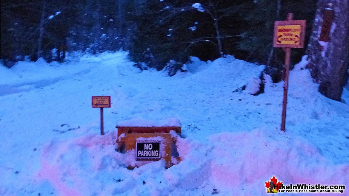
![]() December 27th, 2021: The Rubble Creek trailhead to Garibaldi Provincial Park is not being snowplowed this winter(2021/2022). Last winter, after years of pressure by public interests, the two kilometre access road from the highway to the Rubble Creek trailhead parking lot was plowed. This year BCParks has quietly discontinued this and now accessing Garibaldi Lake, Taylor Meadows, Black Tusk, Panorama Ridge and the rest of this wonderfully vast wilderness is much more difficult. Not plowing this road adds about two kilometres to the already strenuous trek up to the alpine here. To make matters worse they have lined the short section of plowed access road from the highway to the turnoff to Daisy Lake with no parking signs. A very minimal amount of extra plowing could open up about 6 spots to park just above where the access road splits and ascends up to the Rubble Creek parking lot. But even that is not done. Instead of doing a couple minutes of plowing, they have put up a bunch of new no parking signs at the end of the plowing. So, the 300 metre snowplowed section of wide road that ends at this junction about 1.7 kilometres from the trailhead, is dotted with no parking signs. Parking along the Sea to Sky Highway in the winter is obviously impossible, so the only alternative forced by BCParks is to be dropped off and picked up, then slogging up the fairly steep 1.7 kilometres to the trailhead that last winter could be driven to.
December 27th, 2021: The Rubble Creek trailhead to Garibaldi Provincial Park is not being snowplowed this winter(2021/2022). Last winter, after years of pressure by public interests, the two kilometre access road from the highway to the Rubble Creek trailhead parking lot was plowed. This year BCParks has quietly discontinued this and now accessing Garibaldi Lake, Taylor Meadows, Black Tusk, Panorama Ridge and the rest of this wonderfully vast wilderness is much more difficult. Not plowing this road adds about two kilometres to the already strenuous trek up to the alpine here. To make matters worse they have lined the short section of plowed access road from the highway to the turnoff to Daisy Lake with no parking signs. A very minimal amount of extra plowing could open up about 6 spots to park just above where the access road splits and ascends up to the Rubble Creek parking lot. But even that is not done. Instead of doing a couple minutes of plowing, they have put up a bunch of new no parking signs at the end of the plowing. So, the 300 metre snowplowed section of wide road that ends at this junction about 1.7 kilometres from the trailhead, is dotted with no parking signs. Parking along the Sea to Sky Highway in the winter is obviously impossible, so the only alternative forced by BCParks is to be dropped off and picked up, then slogging up the fairly steep 1.7 kilometres to the trailhead that last winter could be driven to.
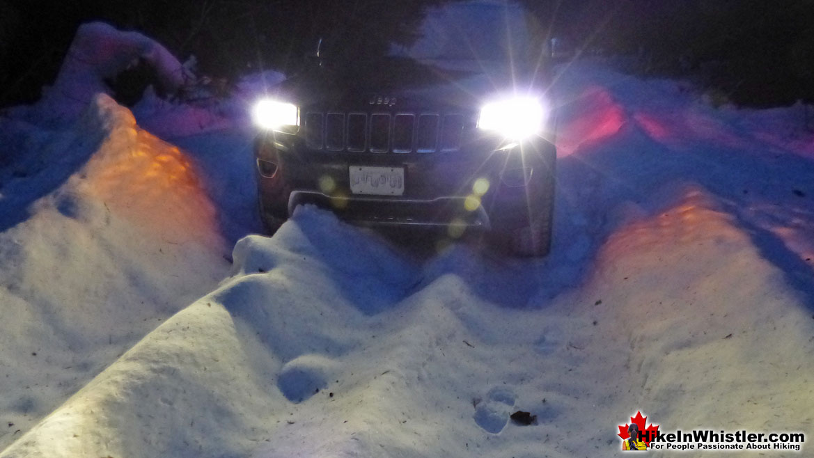
The Rubble Creek access road 300 metres from the Sea to Sky Highway in late December 2021
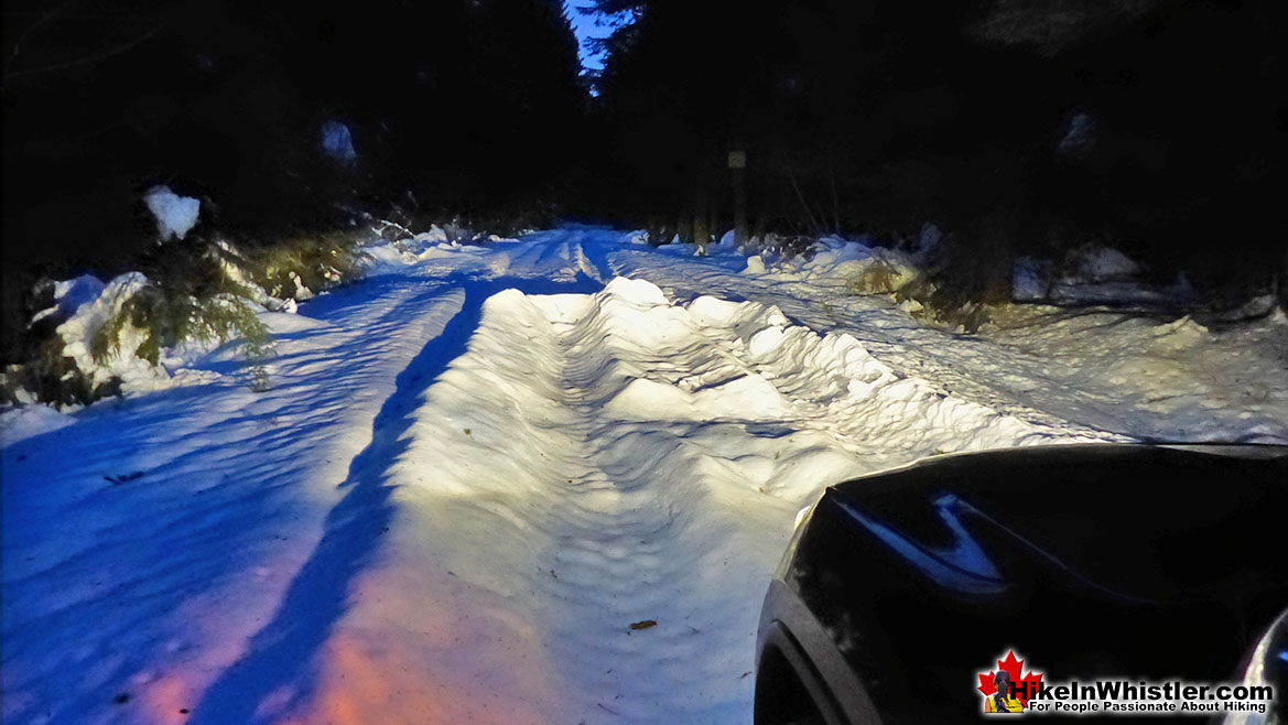
About 60 metres back from the above photos is where the snowplow stops and there are plenty of no parking signs shown below.
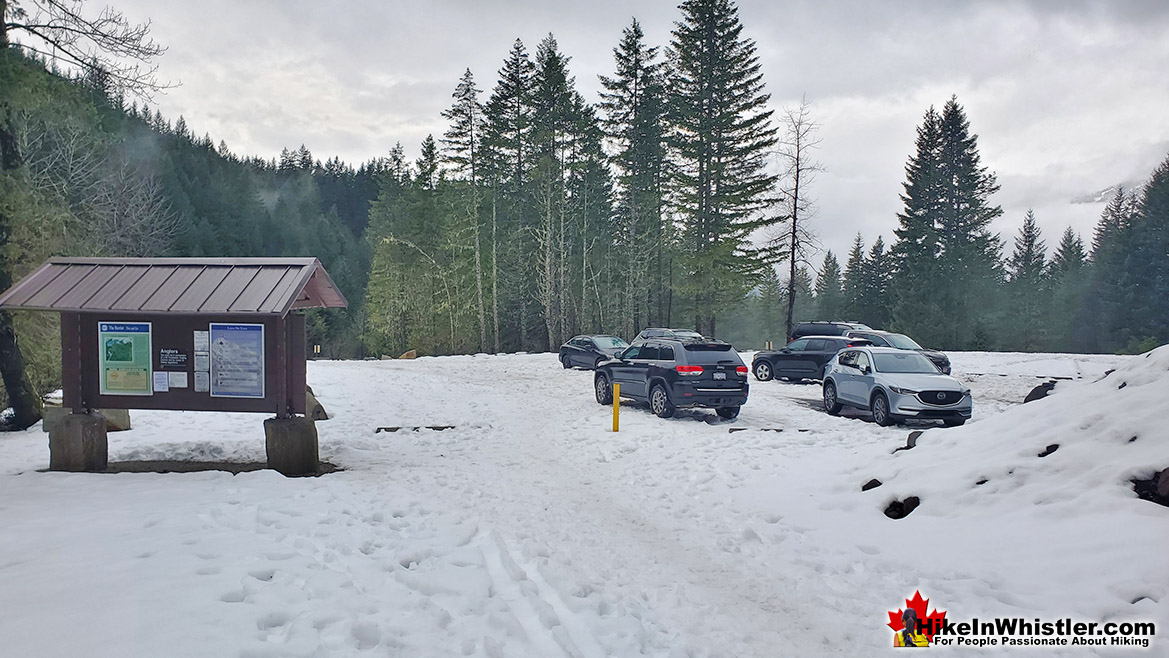
Rubble Creek Trailhead Parking Winter 2020/2021
Last year, with the access road plowed all winter, this is what it looked like.
Brandywine Falls Provincial Park Winter Access
BCParks has similarly blocked access to Brandywine Falls Provincial Park. They have always blocked access in winter with a locked gate, but in previous years you could park in the large area separated from the highway outside the gate. Last winter they put up a bunch of no parking, immediate tow away signs and now this beautiful Provincial Park is hard to access. You can get there via the Whistler Bungee Bridge, but some cars have difficulty on the snow packed, though plowed access road.
Rubble Creek Trailhead Construction April 2019
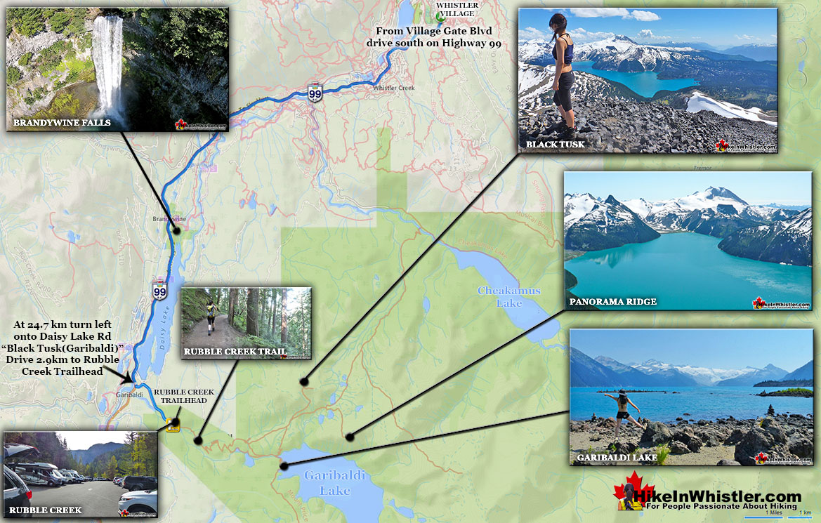
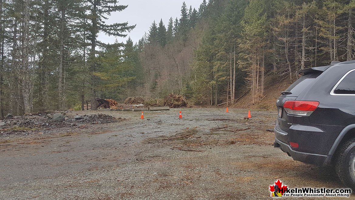
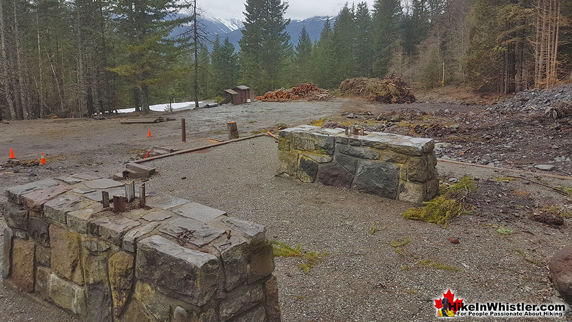
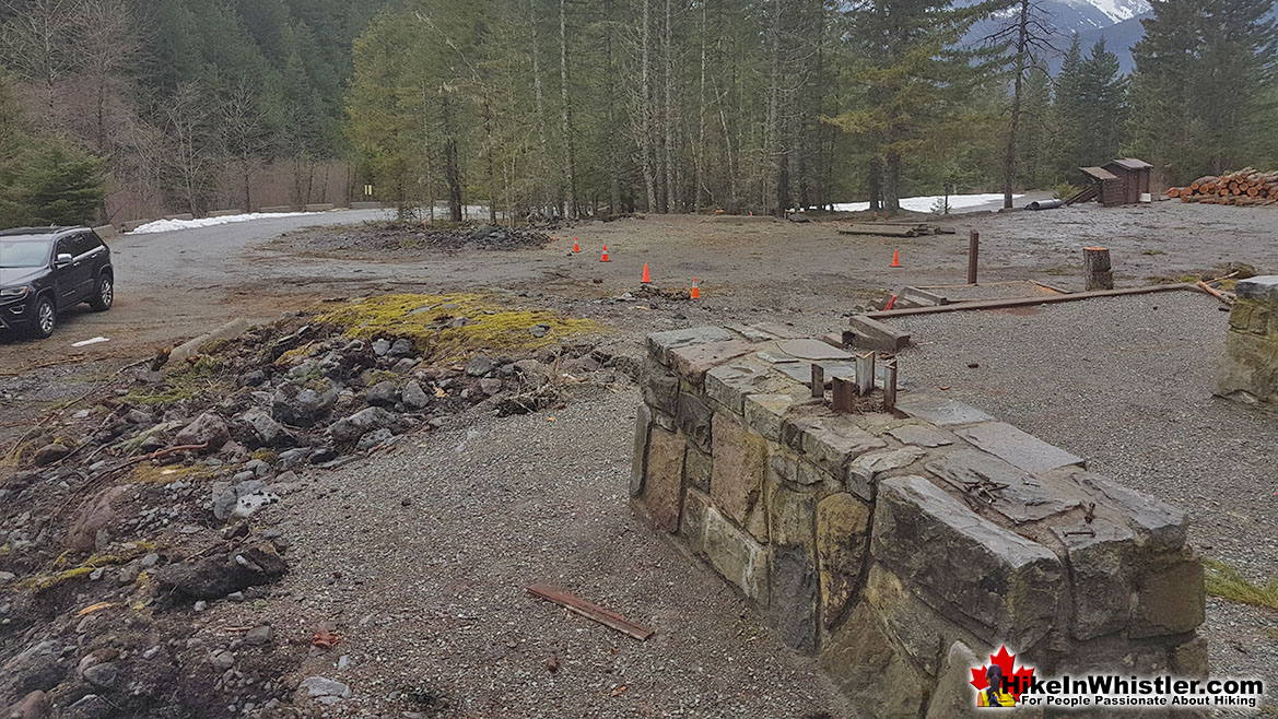
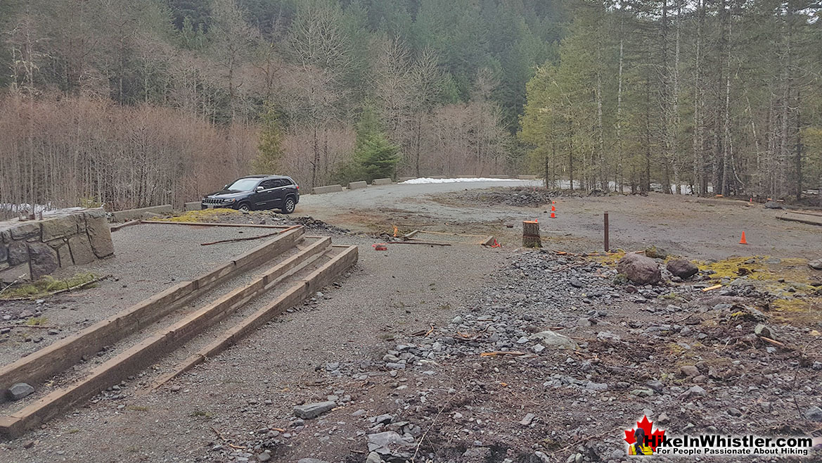
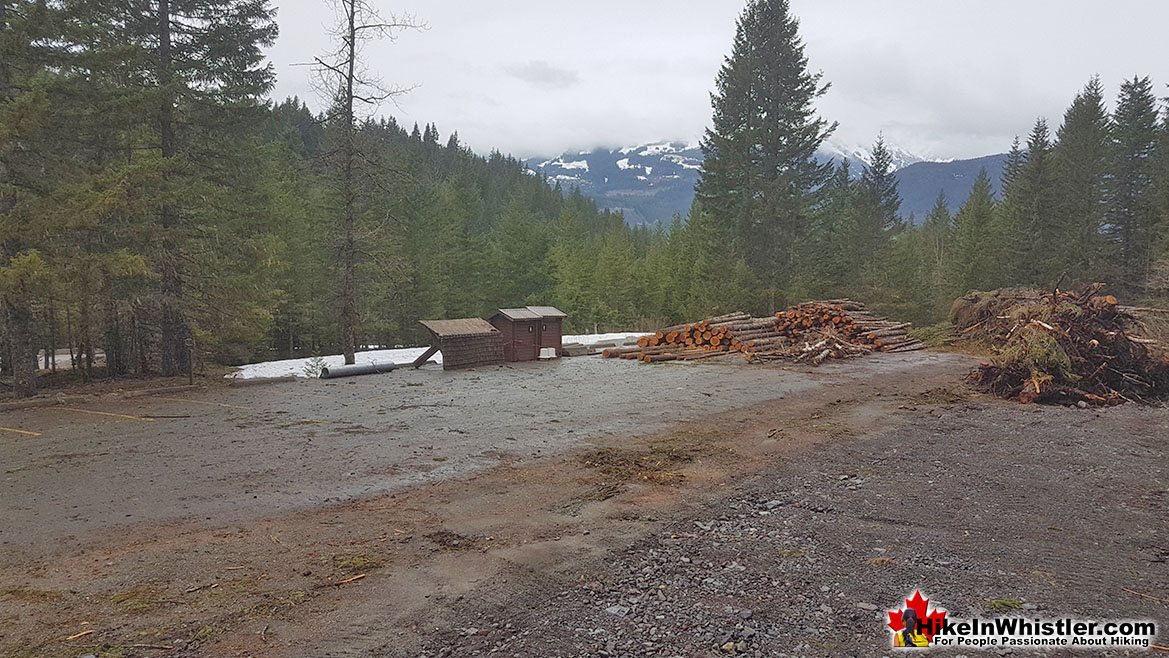
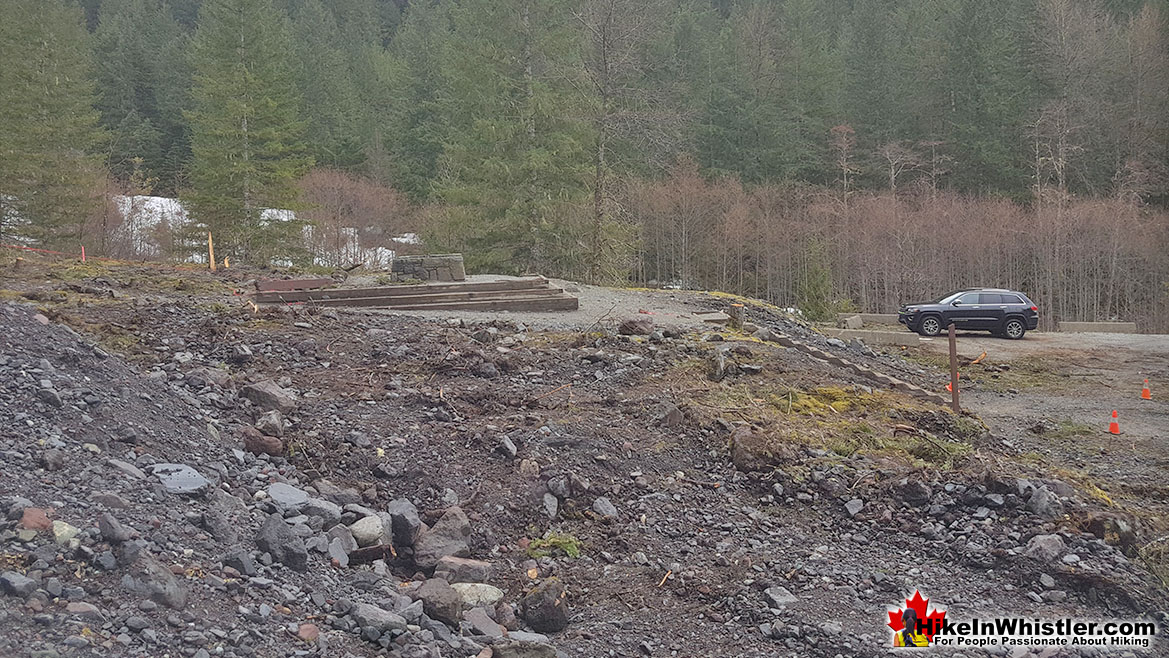
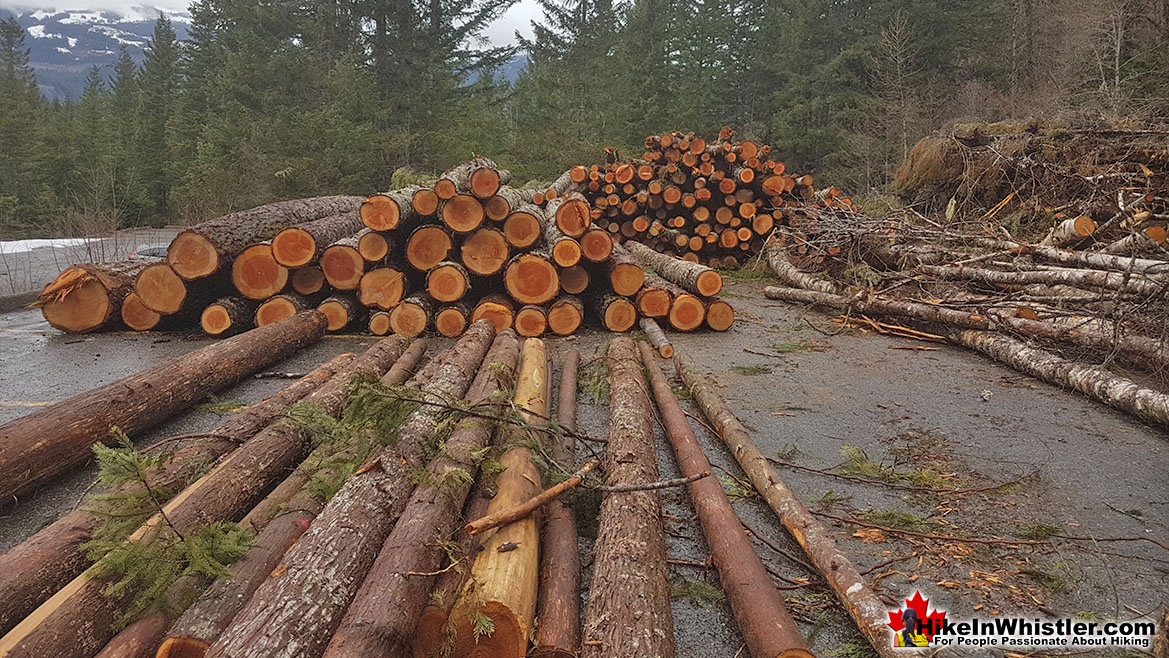
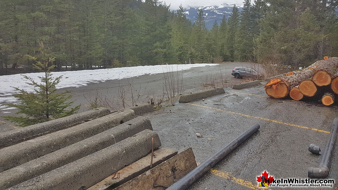
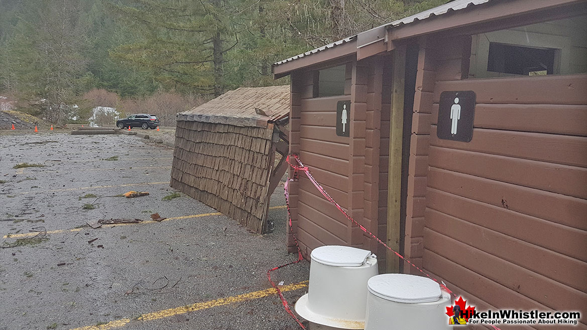
![]() April 8th, 2019: The Rubble Creek trailhead to Garibaldi Provincial Park is finally accessible by car. The snow buried access road is mostly free of snow. Just a few short patches of snow that most cars shouldn't have a problem getting past. The top parking area is currently closed and under construction. Piles of cut trees are stacked up in the parking lot and the large trailhead information board has been cut down and lays partway down the parking lot on its side. Looks like a war zone while construction crews expand the upper parking lot and reconfigure Garibaldi Park's most popular trailhead. The Rubble Creek trailhead is the main access point for many of the best hikes and sights in Garibaldi Provincial Park. Rubble Creek is located midway between Whistler and Squamish, just 2 kilometres from the Sea to Sky Highway. The name Rubble Creek is evidently quite appropriate when you reach the parking lot and see the remnants of what must have been a terrific rock slide not that long ago. Giant boulders fill the river and river valley that sharply ascends up the valley toward The Barrier and Garibaldi Lake. The Barrier is a magnificently abrupt and unstable rock formation that holds back Lesser Garibaldi Lake and just two kilometres further, Garibaldi Lake. The Barrier partially gave way in the spring of 1856 and unleashed a horrific, rocky torrent of boulders down the valley. It is estimated that more than 25 million cubic metres of rock tumbled down the valley at about 70 kilometres per hour. Sixty years later the Pacific Great Eastern Railway completed the railway line that stretched up the coast from Vancouver, through Whistler, to Lillooet and beyond. In 1916 the Garibaldi Lodge opened near the railway line at Daisy Lake and Rubble Creek. The Garibaldi Lodge was similar to the Rainbow Lodge at Alta Lake in Whistler. Garibaldi Lodge was located in a small community called Daisy Lake after the lake that we see there today that Brandywine Falls so dramatically spills into. In 1932, five years after the creation of Garibaldi Provincial Park, the community changed its name from Daisy Lake to Garibaldi. The newly named town of Garibaldi was poised to become the main base and tourism centre for Garibaldi Provincial Park.
April 8th, 2019: The Rubble Creek trailhead to Garibaldi Provincial Park is finally accessible by car. The snow buried access road is mostly free of snow. Just a few short patches of snow that most cars shouldn't have a problem getting past. The top parking area is currently closed and under construction. Piles of cut trees are stacked up in the parking lot and the large trailhead information board has been cut down and lays partway down the parking lot on its side. Looks like a war zone while construction crews expand the upper parking lot and reconfigure Garibaldi Park's most popular trailhead. The Rubble Creek trailhead is the main access point for many of the best hikes and sights in Garibaldi Provincial Park. Rubble Creek is located midway between Whistler and Squamish, just 2 kilometres from the Sea to Sky Highway. The name Rubble Creek is evidently quite appropriate when you reach the parking lot and see the remnants of what must have been a terrific rock slide not that long ago. Giant boulders fill the river and river valley that sharply ascends up the valley toward The Barrier and Garibaldi Lake. The Barrier is a magnificently abrupt and unstable rock formation that holds back Lesser Garibaldi Lake and just two kilometres further, Garibaldi Lake. The Barrier partially gave way in the spring of 1856 and unleashed a horrific, rocky torrent of boulders down the valley. It is estimated that more than 25 million cubic metres of rock tumbled down the valley at about 70 kilometres per hour. Sixty years later the Pacific Great Eastern Railway completed the railway line that stretched up the coast from Vancouver, through Whistler, to Lillooet and beyond. In 1916 the Garibaldi Lodge opened near the railway line at Daisy Lake and Rubble Creek. The Garibaldi Lodge was similar to the Rainbow Lodge at Alta Lake in Whistler. Garibaldi Lodge was located in a small community called Daisy Lake after the lake that we see there today that Brandywine Falls so dramatically spills into. In 1932, five years after the creation of Garibaldi Provincial Park, the community changed its name from Daisy Lake to Garibaldi. The newly named town of Garibaldi was poised to become the main base and tourism centre for Garibaldi Provincial Park.
The Barrier
The town continued developing and soon grand plans were drawn up for a ski resort in the area. The company that originally created what would become Whistler that we see today was called the Garibaldi Lift Company. A name that suggested the location that the resort would emanate from, Garibaldi. With huge development plans underway, the government had a look at the potential for another enormous rock slide if The Barrier ruptured again. A massive study was done and it was determined that The Barrier could release a similar catastrophe as it did in 1856 at any time. Specifically the study determined that the conditions that produced the 1856 slide are all still characteristics of The Barrier today.
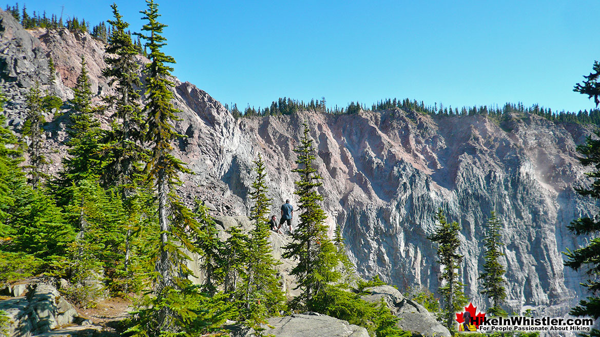
The Barrier Still Threatens Rubble Creek
Because a similar catastrophic rock slide could occur anytime, the plans for Garibaldi were scrapped and the town was ordered evacuated. To compensate the people that lived in the tiny community, lots were offered in the new settlements of Pinecrest and Black Tusk Estates, just north of Rubble Creek. Those areas retain the same names today, however the settlement of Garibaldi is long gone. Though you will still see the old townsite’s name on the Sea to Sky highway signs for the Rubble Creek trailhead. The highway signs read Black Tusk(Garibaldi) referring to the Rubble Creek trailhead to Garibaldi Provincial Park. In Whistler you will find a little piece of history if you go for a drink in one of Whistler’s best slopeside bars, the GLC. The GLC sits at the base of Whistler Mountain and above the Whistler Gondola, and has one of the most amazing patios around. GLC, of course is short for Garibaldi Lift Company. Today you will see Daisy Lake as you drive along the Sea to Sky Highway between Squamish and Whistler. In 1957 the Daisy Lake Dam was completed and is dramatically visible as you drive by. Just past the lake, heading north, you pass Brandywine Falls which spills from an abrupt cliff into Daisy Lake. Near the falls you will find a tranquil viewing area overlooking the valley and a great view of Daisy Lake. There are a couple of nice, sun facing park benches here as well which makes this spot unbeatable to relax for lunch with a million dollar view of this historically and geologically magnificent place.
Rubble Creek Trailhead for Garibaldi Park
From the trailhead at Rubble Creek the trail forks at 5.5 kilometres, left to Taylor Meadows and right to Garibaldi Lake. A continuing trail leads to Black Tusk and further along another trail extends to Panorama Ridge. These are two amazing and challenging destinations for this area of the park. Black Tusk is 13.5 kilometres from the Rubble Creek trailhead and Panorama Ridge is 15 kilometres. So tackling both in a day hike is not realistic for most hikers. Even hiking to one of these in a day hike is too much for most hikers. Therefore an overnight base camp at Taylor Meadows or Garibaldi Lake are the usual alternative. Though a day hike is a good endurance test, taking your time allows you to appreciate the view from the summit of Black Tusk, or the stunning panorama from Panorama Ridge, or the flower filled valleys along the way. This Black Tusk area of Garibaldi Provincial Park is great for a lot of geological features besides Black Tusk, but Black Tusk is quite a marvel that outshines all the rest in the park.
More Whistler Updates!


Whistler & Garibaldi Park Hiking Glossary A to Z
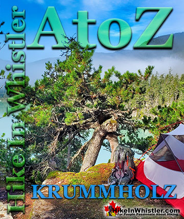
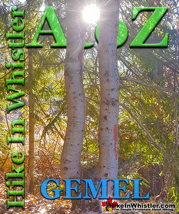
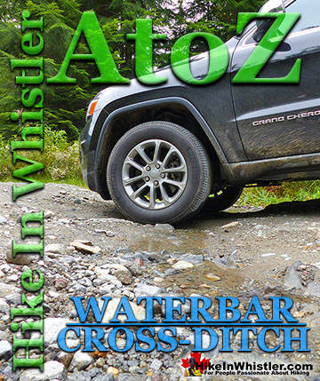
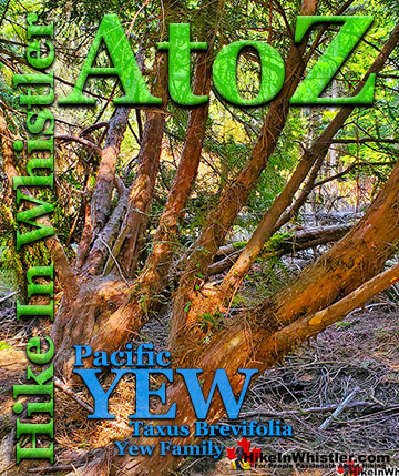
Whistler & Garibaldi Park Best Hiking by Month!

Explore BC Hiking Destinations!
Whistler Hiking Trails
Squamish Hiking Trails

Vancouver Hiking Trails
Clayoquot Hiking Trails

Victoria Hiking Trails
